


Legalize Unlimited-Quality Satellite Imagery
It isn't the 90s anymore and if the US isn't careful, it will get passed by

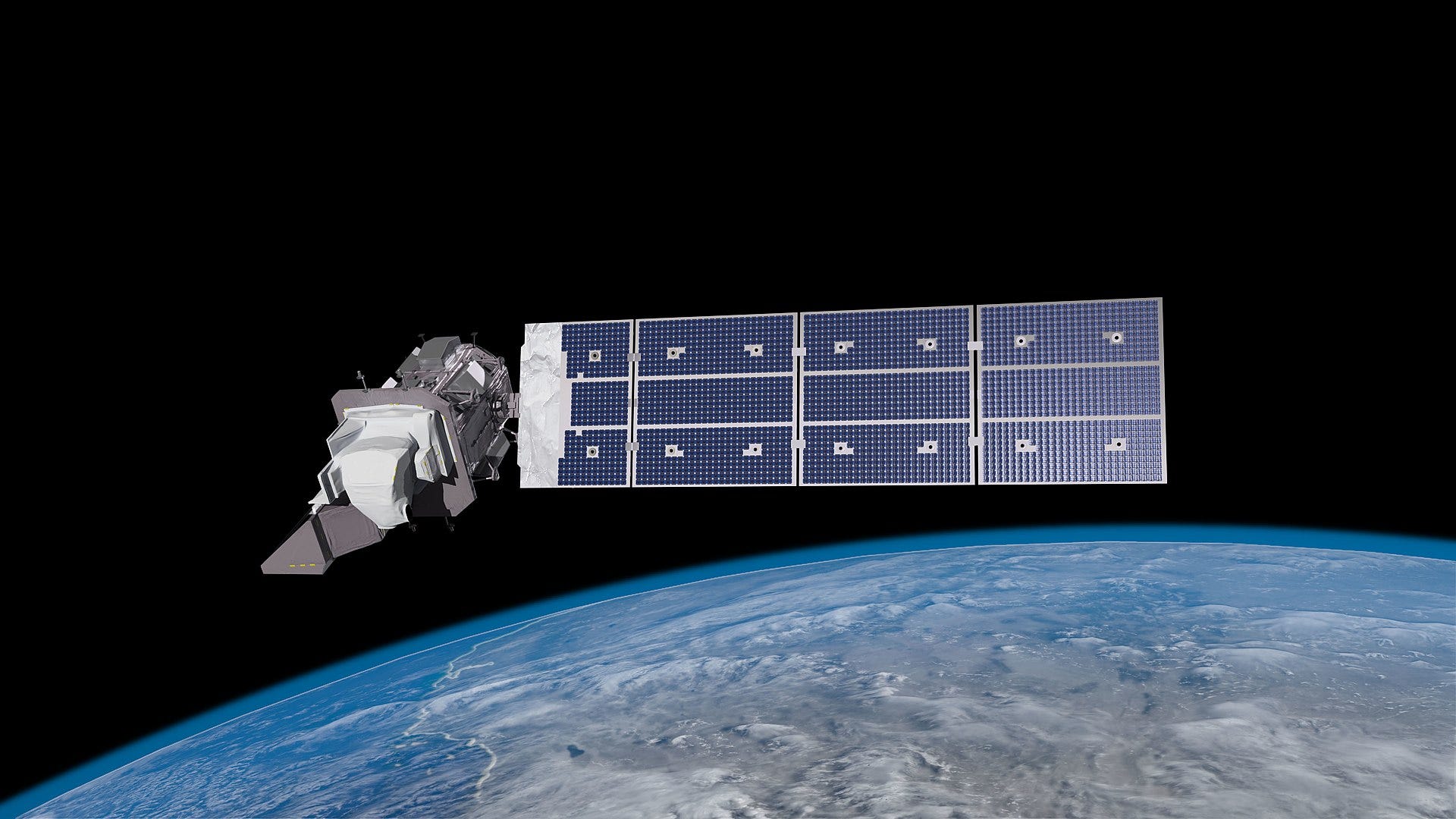
In 1992, the US passed the Land Remote Sensing Policy Act of 1992 which, among other things, created the Landsat program, seen above, and birthed the American remote sensing industry. The law authorized the Secretary of Commerce to grant licenses to private companies to launch satellites into space with large cameras on them and then sell the images collected to the public and the US government. The problem with this regime is that the license also includes a maximum resolution that a company can sell images at.1 If a satellite can collect higher-quality images, they need to be purposefully downgraded before they are sold to anyone other than the federal government.
What are resolution and pixel size?
Resolution is measured in pixel sizes. So, 1-meter resolution means that each side of each square pixel is one meter. As seen in the graphic below, as the pixel size halves, the number of available pixels increases by four times. As the number of pixels increases, smaller objects come into focus.

High-quality imagery has become important to a wide variety of US-based companies to do things such as precision agriculture, counting cars in parking lots to predict sales, and monitoring wildfires. Even higher-quality imagery would enhance existing industries and spur innovation that could create new ones.
Why does this matter?
The resolution limit only applies to US-based companies. The other major player in the remote sensing space is Airbus. Airbus is subject to French law and can offer as high-quality imagery as the French would like to be sold. Additionally, there are newer entrants from the People's Republic of China, Finland, Israel, India, and Spain who have their own regulatory regimes. If the United States continues to restrain US-based companies the innovation will happen elsewhere and the US will not be able to reap the benefits.
The resolution limit placed on US-based companies for panchromatic and true color imagery is arbitrary. In 2015, DigitalGlobe was allowed to offer 30-centimeter resolution imagery instead of 50-centimeter resolution because the government let them. The highest quality satellite image that has been released to the public was the 10-centimeter resolution image that Donald Trump tweeted out in 2019. There are, however, unconfirmed rumors that the US government has access to 7-centimeter or 5-centimeter imagery from spy satellites. There is a market for this ultrahigh-quality imagery and at least one startup is looking to capitalize on it.
What has been done?
In 2017, the GOP-controlled House passed the American Space Commerce Free Enterprise Act. The bill, among other things, would have overhauled the licensing system for remote sensing systems. The most interesting provision is:
The Secretary may not deny an application for, or place a condition on, a permit for the operation of a space-based remote sensing system for which the same or substantially similar capabilities, derived data, products, or services are already commercially available or reasonably expected to be made available in the next 3 years in the international or domestic marketplace. The exception in the previous sentence applies regardless of whether the marketplace products and services originate from the operation of aircraft, unmanned aircraft, or other platforms or technical means or are assimilated from a variety of data sources.
By including drones and aircraft in the definition, the law would have potentially done away with the resolution cap. Drones can take images at 10-centimeter or better resolutions. This is probably the current upper limit for a reasonably-priced satellite system with our current technology ($1 billion to $2 billion). The bill, however, died in committee in the Senate.
In 2020, the Department of Commerce revised its regulatory regime for remote sensing systems. The revisions sound helpful on paper, but a year later, there is no higher-quality data on the market and I have not seen any near-term plans to collect it.
What should be done?
Congress should build upon the existing Department of Commerce changes and pass a modified version of the American Space Commerce Free Enterprise Act. In that law, the Secretary of Commerce should be prohibited from denying an application for a remote sensing system based on the resolution of the panchromatic and true color imagery collected.
Congress should repeal the 1997 Kyl-Bingaman Amendment which prohibits the sale of imagery of Israel that is beyond that which can be purchased outside of the US. In the 90s it may have made sense to shield Israel from having high-quality imagery released of it. In 2021, it no longer makes sense for Israel to be the only US ally protected when most other countries have their own spy satellites, commercial remote sensing satellite, or both. This amendment mostly creates unnecessary headaches for US-based companies.
The Department of Defence (DoD) and the Intelligence Community (IC) should be prohibited from de facto making high-quality imagery collected by private companies unavailable to consumers. For example, the DoD has used its immense financial power to buy out all high-quality data of an area. Also, the DoD and the IC are the largest purchasers of remote sensing data. They could refuse to buy data from companies that offer too high of quality of data to other entities.
Some perspective
The kinds of images that I am advocating for releasing are the ones that someone in an airplane with a telephoto lens could take: panchromatic and true color images. Every day, hundreds of people see Washington, DC with better resolution flying into DCA than is available from DigitalGlobe. This shows the insanity of our current regulatory framework.
I think there is an open argument that very high-quality hyperspectral and multispectral imagery need protection as well as remote sensing data from radar and lidar that are at a better resolution than the current maximum. Some of these datasets can expose intimate details of people’s lives such as “at what hour each night the lady of the house takes her daily sauna”, quoting Justice Scalia in Kyllo v. United States. I am wary to open the gates to private citizens being able to perform what amounts to a search under US law by allowing the release of high-quality thermal imagery data.
This applies to all kinds of information gathered from space, but for this when I talk about imagery or images I am talking only about panchromatic (black and white) and true color images taken from space.